 Guides
From imagery to insights to solutions
The pipeline that turns raw pixels into impervious-surface intelligence — and intelligence into municipal decisions.
Read more →Product updates, project stories, tutorials and use cases from the team mapping the world.
Guides
The pipeline that turns raw pixels into impervious-surface intelligence — and intelligence into municipal decisions.
Read more →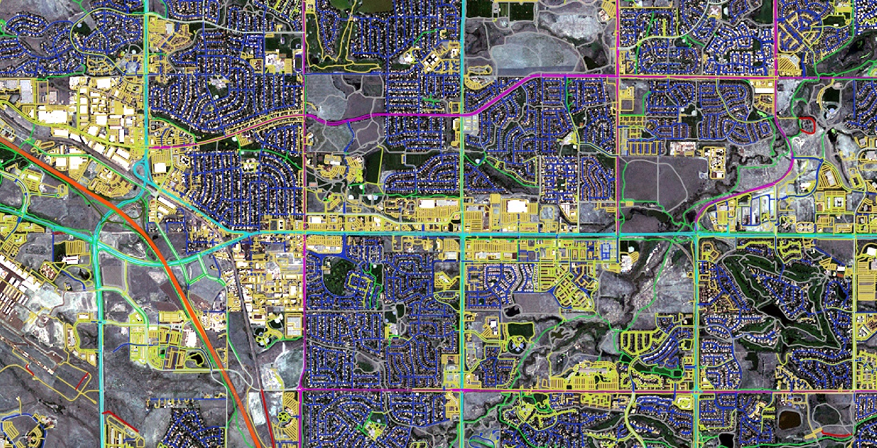 Guides
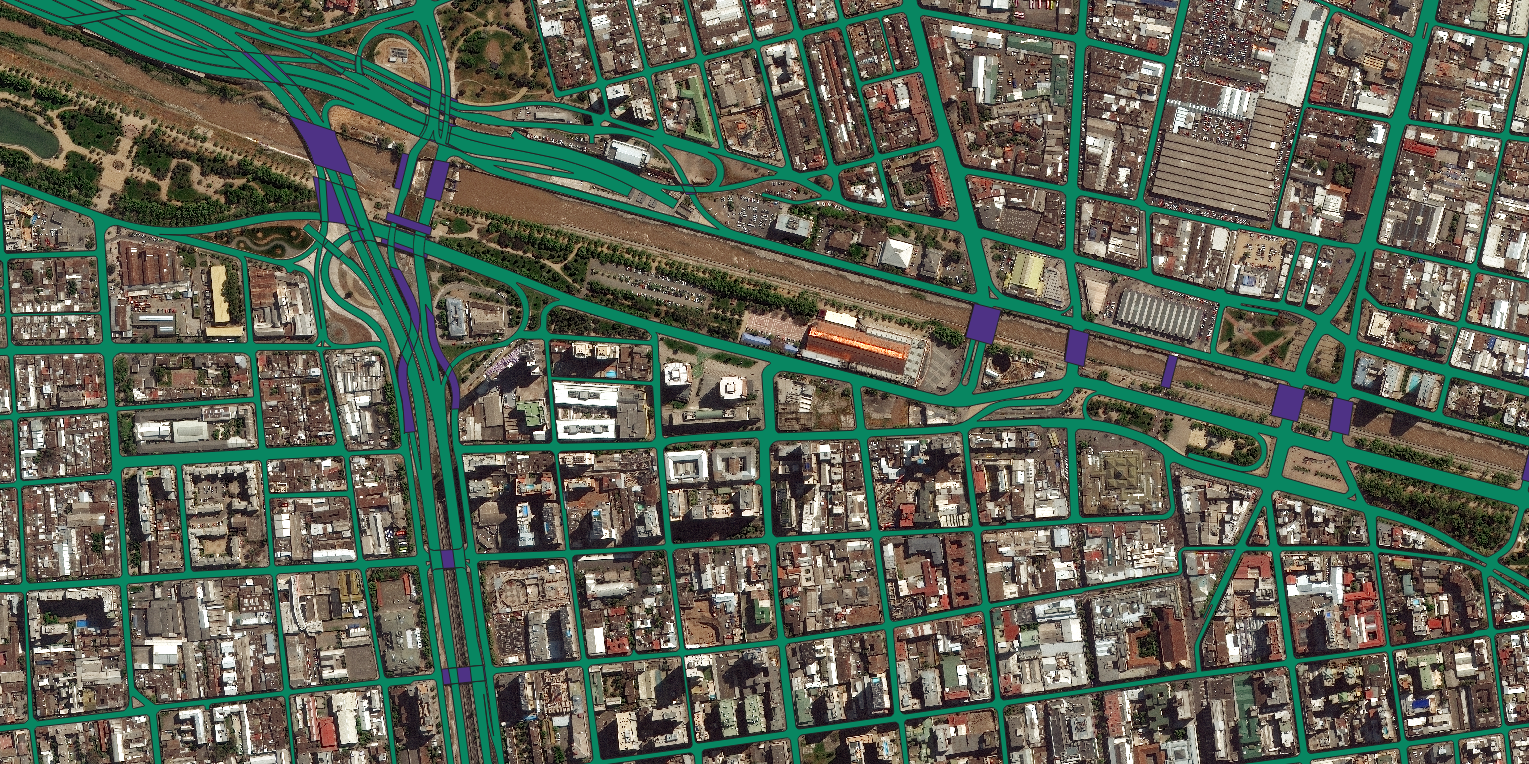
Four real-world ways GIS and detailed transport data widen access to jobs, healthcare and services.
Read more →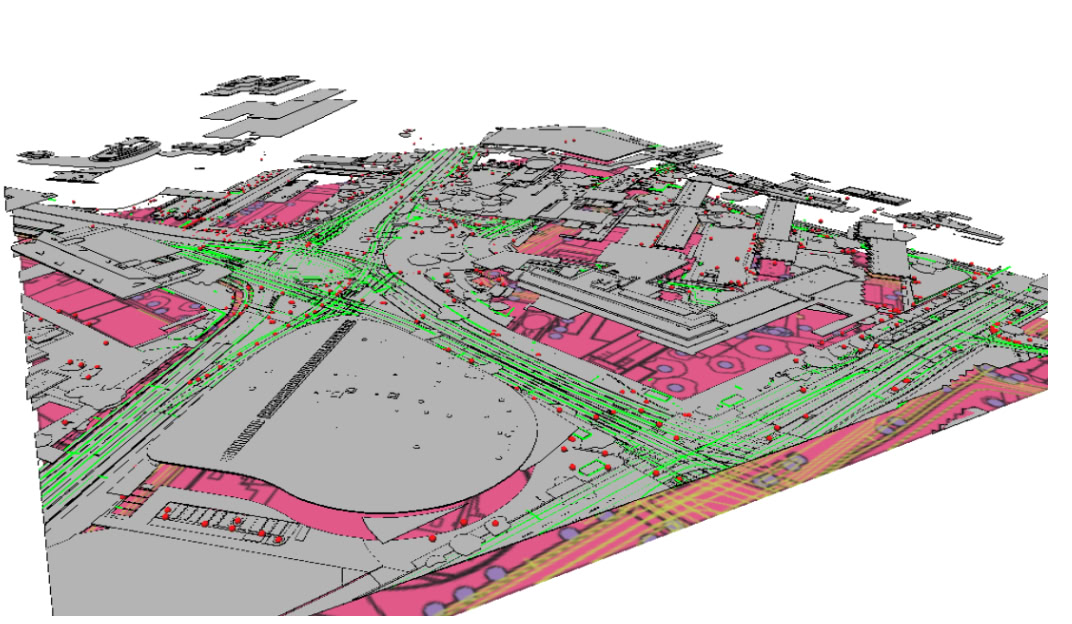 Guides
From insurance to logistics to planning — the many uses of accurate, attributed building footprints.
Read more → Guides
Why time is the fourth dimension of mapping, and how automated change detection keeps a map honest.
Read more →How detailed, current transport layers underpin safe, efficient mobility for DOTs and metropolitan planners.
Read more →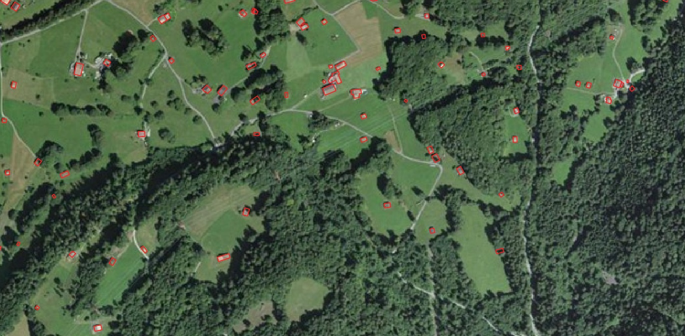 Guides
A practical checklist for municipalities adopting geospatial solutions for stormwater and impervious-surface management.
Read more →A tour of transportation mapping's many GIS applications — and where to get the data each one needs.
Read more → Guides
What impervious-surface data is, how it is made, and why it has become essential to stormwater and land management.
Read more → Guides
A practical look at the EU programmes that can fund municipal stormwater and land-cover mapping work.
Read more →Send us your area of interest and what you need to see. We'll return a sample over your own location and walk you through the platform.