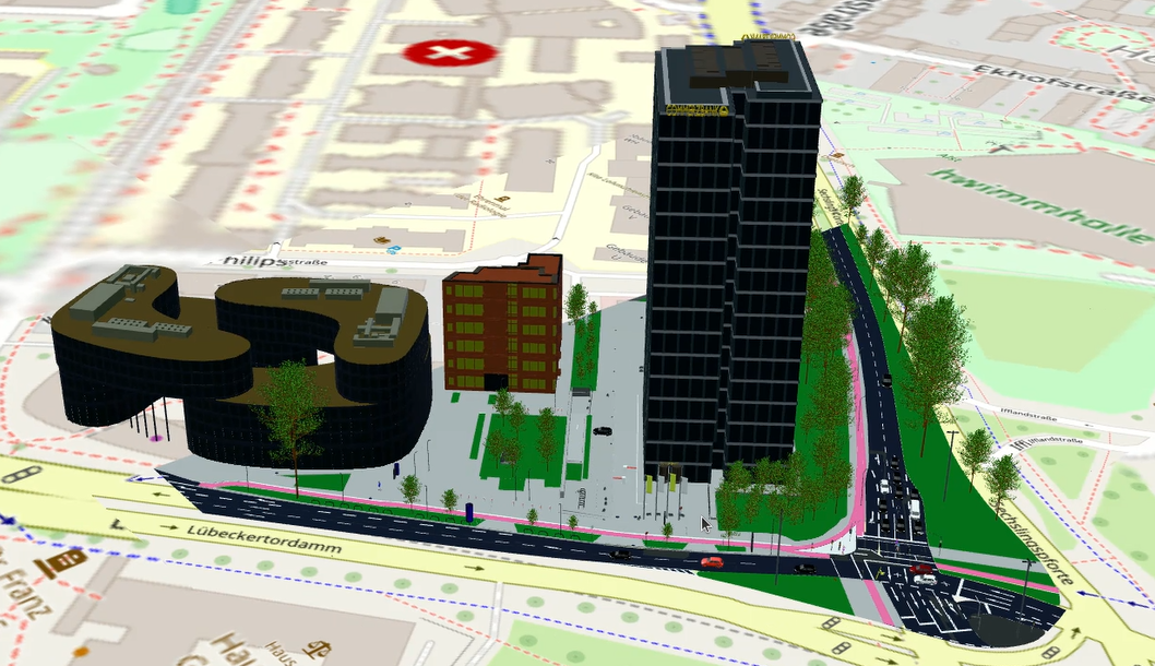
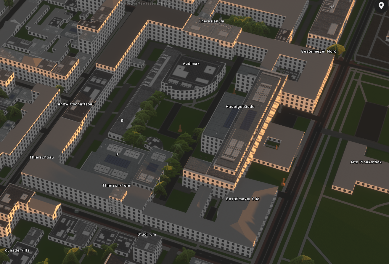
Web 3D viewer
Stream 3D Tiles and imagery to any modern browser.

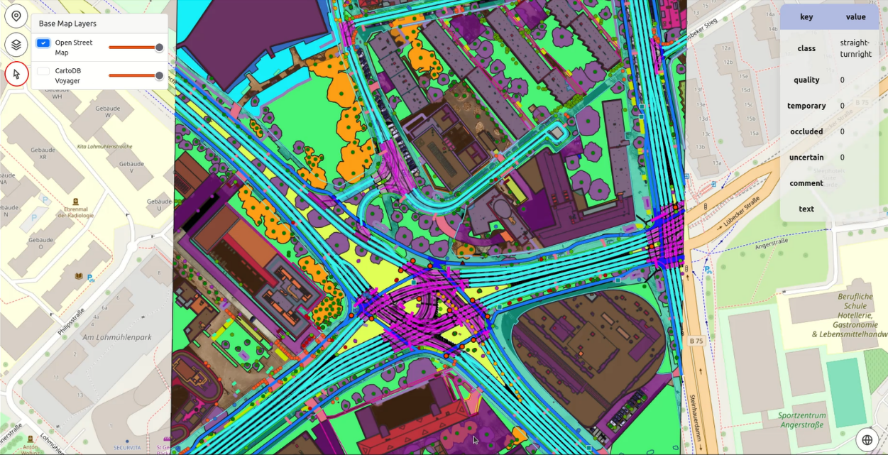
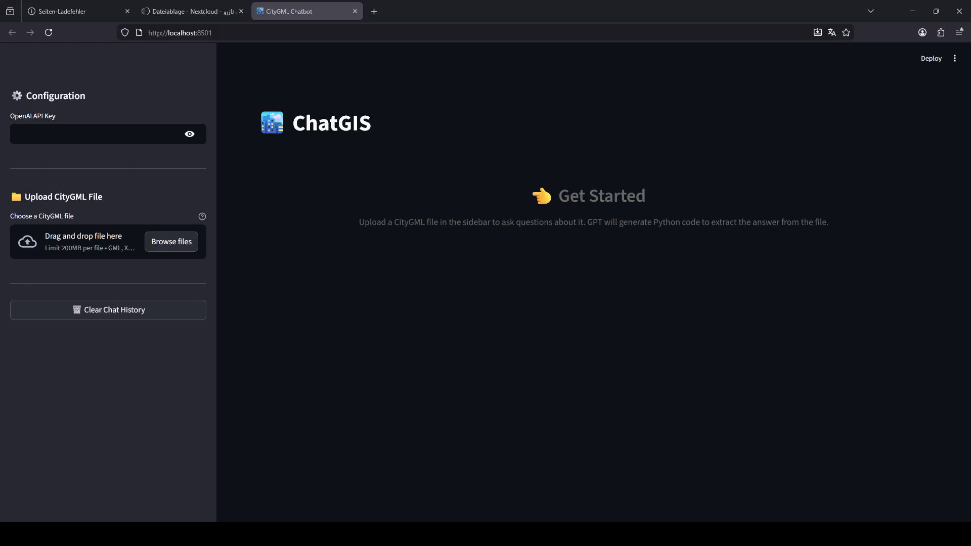
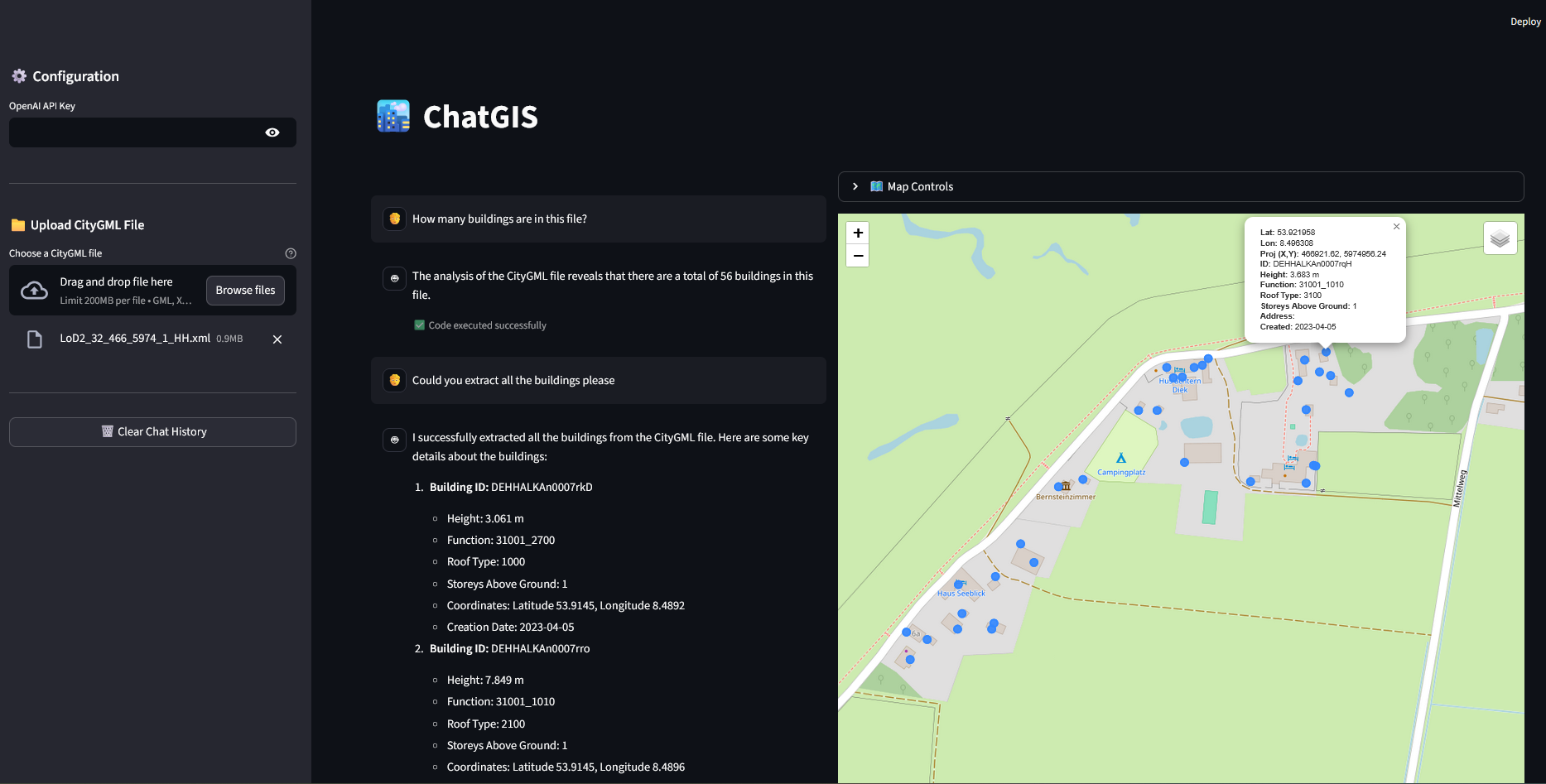
A web-based 2D/3D GIS to host, visualise, query and share everything we produce — built on open standards so it plugs into the GIS you already run.
Stream 3D Tiles and imagery to any modern browser.
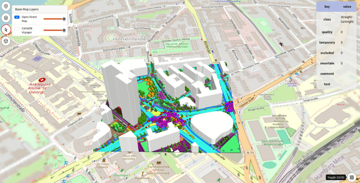
Layers, query, measure, and time-slider.
OGC API, WMS/WMTS/WFS, 3D Tiles, GeoJSON.
Connect to Esri, QGIS, Cesium and your data lake.
Roles, sharing and embeddable views.
Run in your region or inside your network.
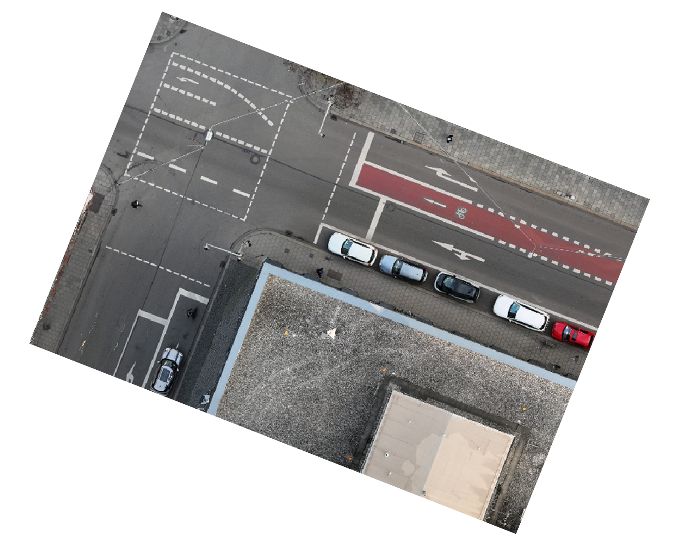
Genuine outputs from real projects — our own work. Drag to explore; click any image to enlarge.
Send us your area of interest and what you need to see. We'll return a sample over your own location and walk you through the platform.