New & archive tasking
Order a fresh collection to your spec, or retrieve historical imagery for baselines.
Tasked or archive imagery — corrected, sharpened and analysis-ready.

We source imagery from any platform — satellite, crewed aircraft or drone — as a new tasking or from archive, then run it through our correction and enhancement pipeline so it is ready for measurement and AI.
Order a fresh collection to your spec, or retrieve historical imagery for baselines.
Optical, multispectral, hyperspectral, thermal, SAR and LiDAR.
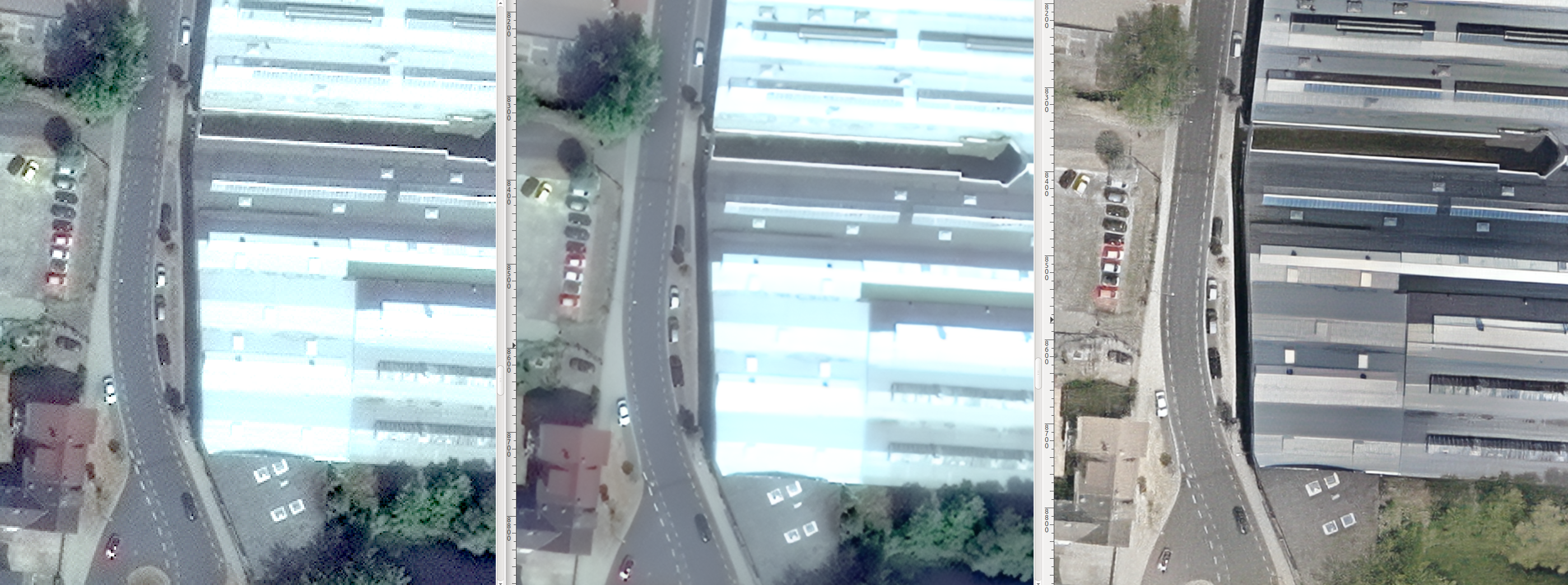
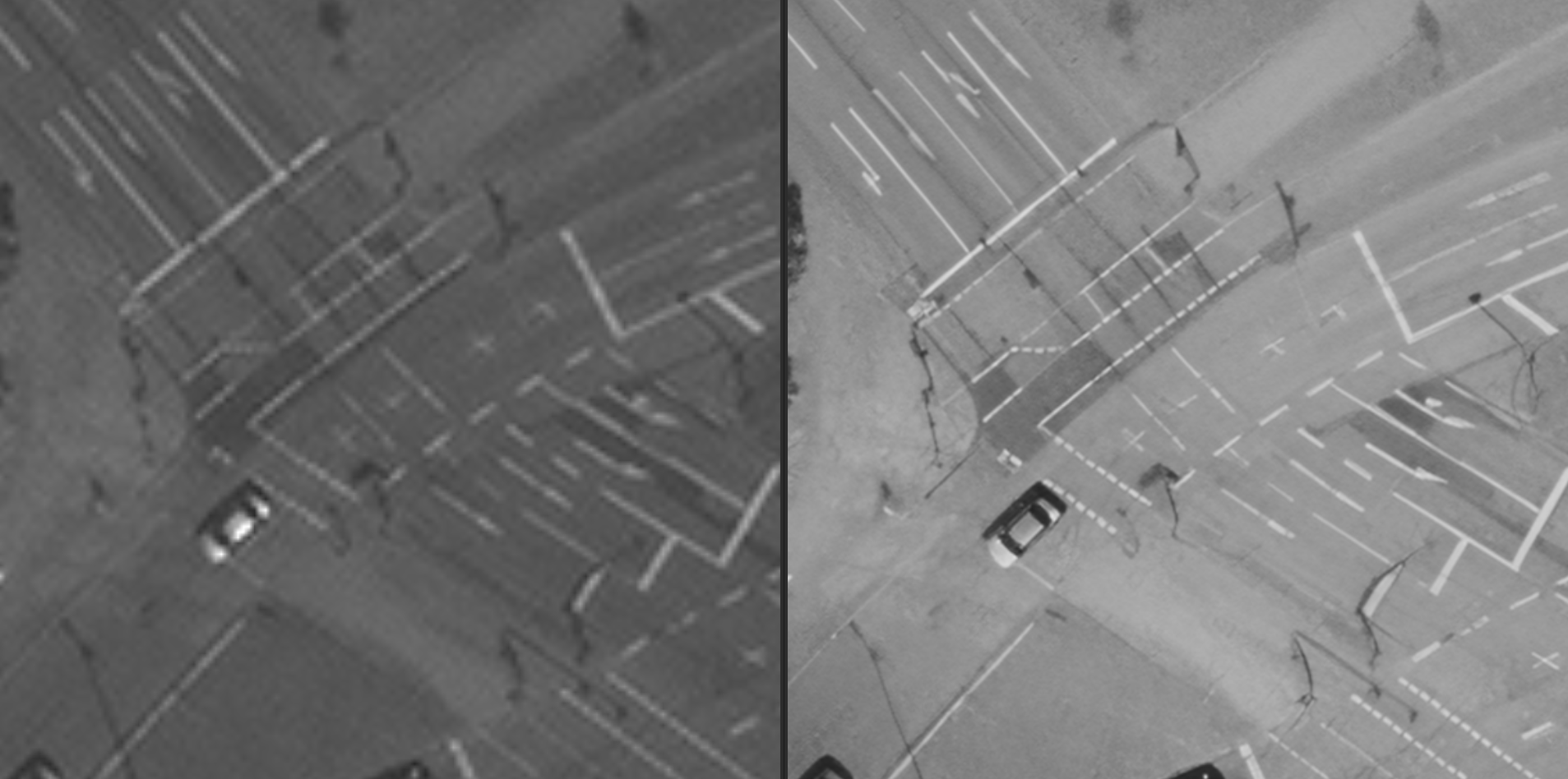
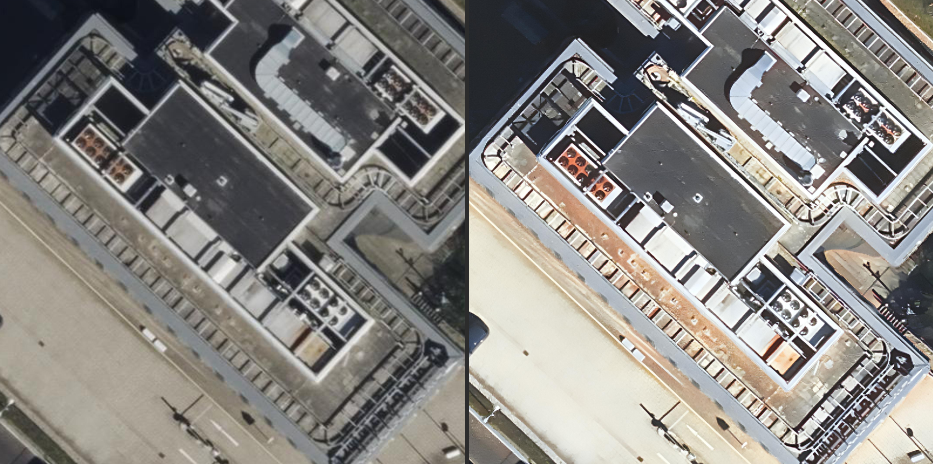
Single- and multi-frame upscaling for sharper, more usable detail.
Fuse panchromatic and multispectral bands for full-resolution colour.
AI inpainting recovers the ground beneath haze and cloud.
Atmospheric, radiometric and geometric correction; orthorectification.
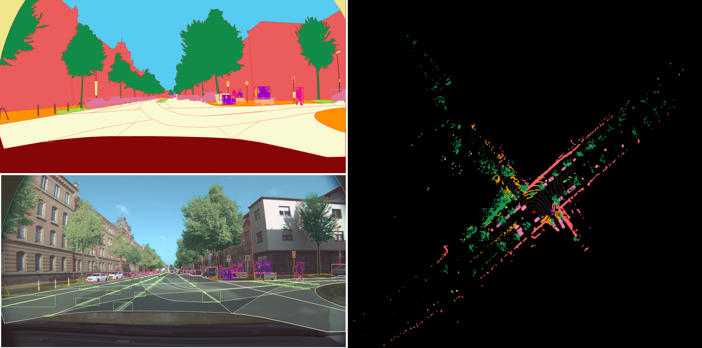
Genuine outputs from real projects — our own work. Drag to explore; click any image to enlarge.

Send us your area of interest and what you need to see. We'll return a sample over your own location and walk you through the platform.