2D & 2.5D mapping
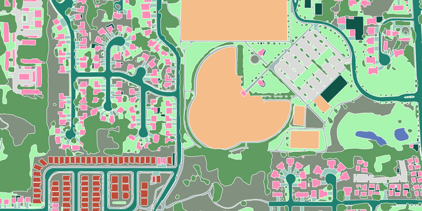
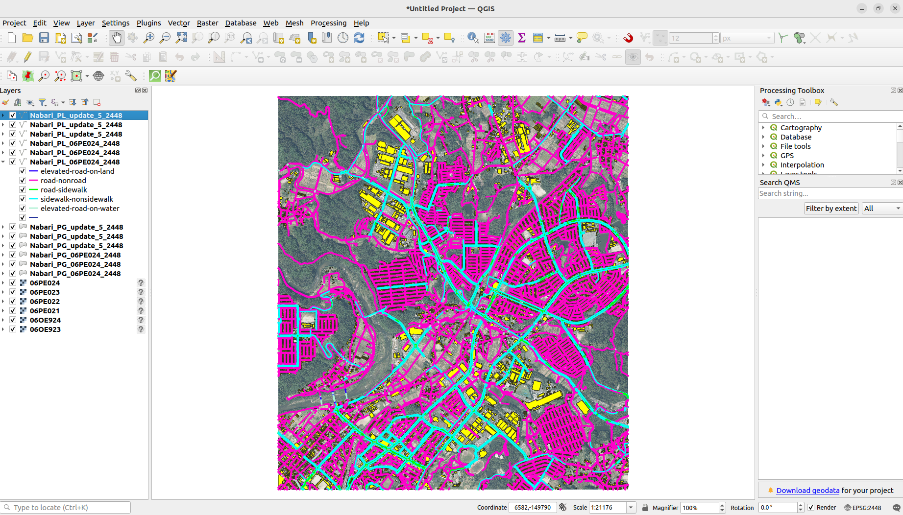
Orthomosaics, vector basemaps and land-use layers.
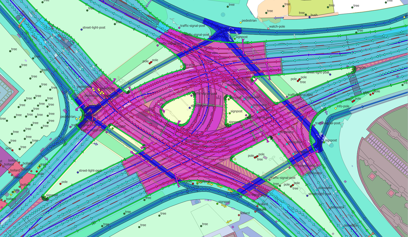
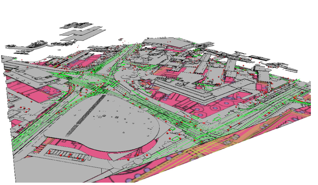
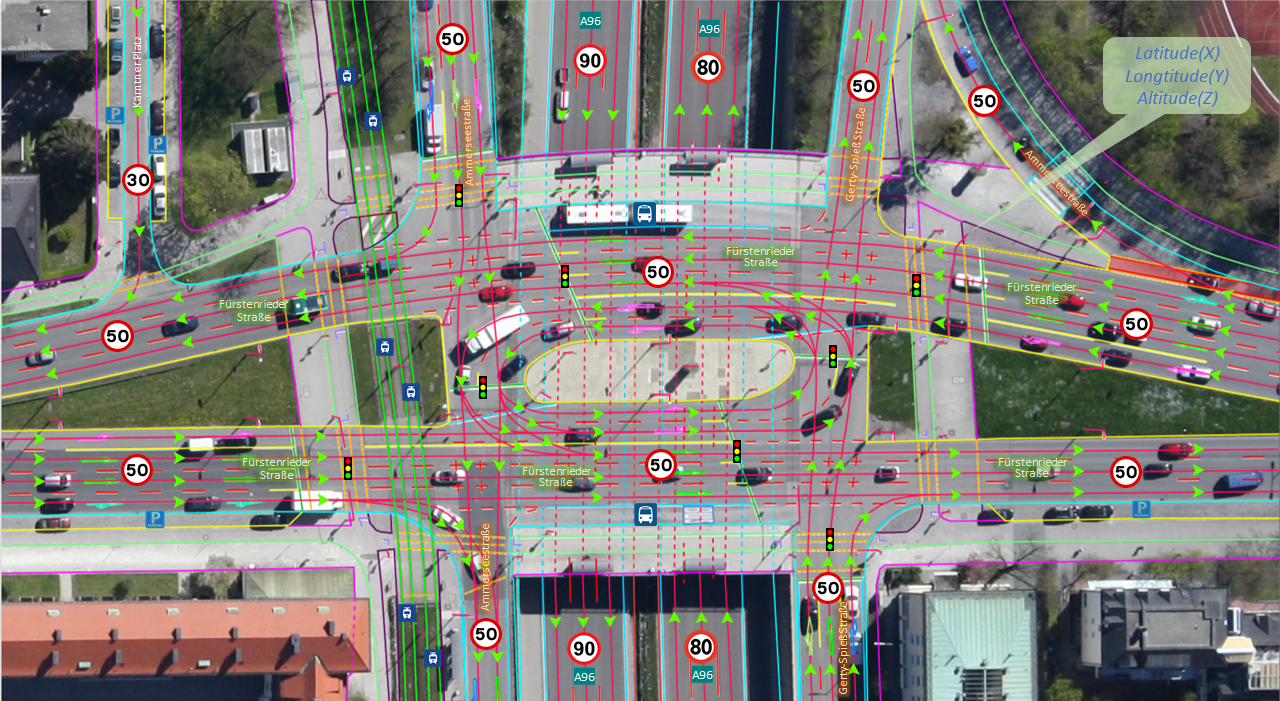
2D, 3D, SD and HD maps — extracted by AI, georeferenced to survey grade.
From orthomosaic basemaps to lane-accurate HD road networks, we turn imagery into clean, attributed map layers at city and country scale — ready for your GIS, navigation or autonomy stack.
Orthomosaics, vector basemaps and land-use layers.
Building footprints, roads, vegetation and water as clean vectors.
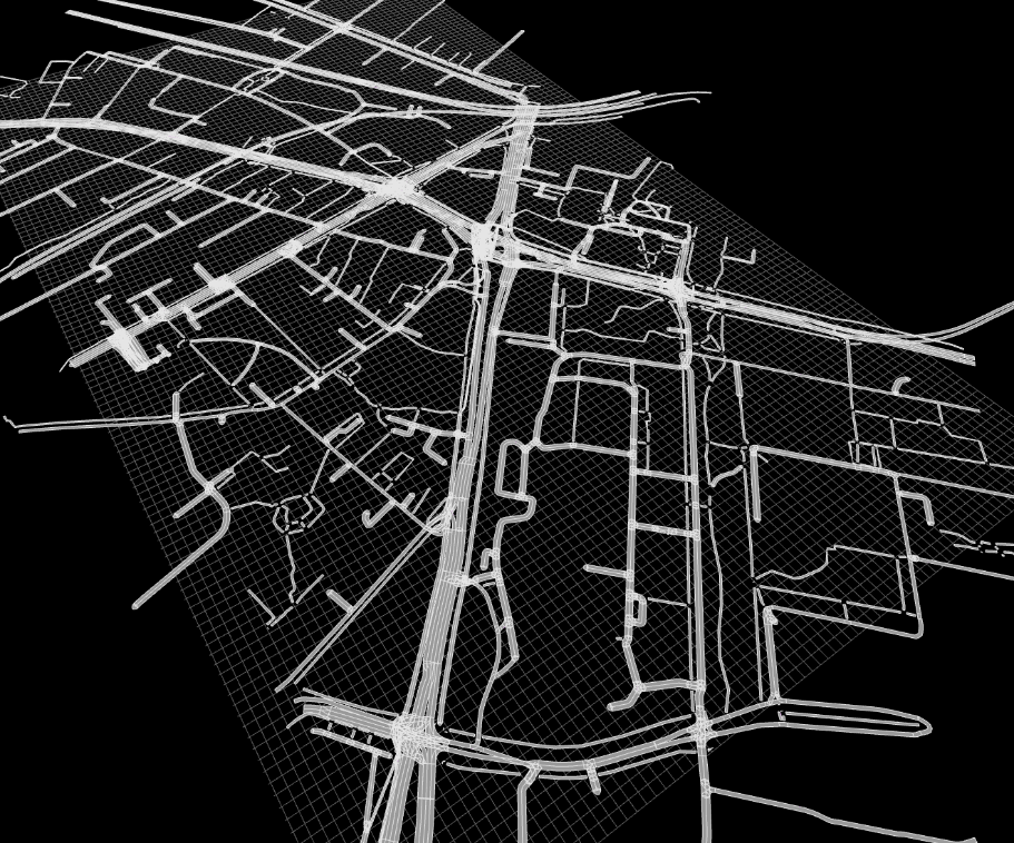
Routable navigation networks for logistics and planning.
Lane-accurate maps in ASAM OpenDRIVE for ADAS validation and autonomy.
Re-map on a cadence and track what changed.
Documented spatial accuracy and consistent CRS/tiling.
Genuine outputs from real projects — our own work. Drag to explore; click any image to enlarge.

Send us your area of interest and what you need to see. We'll return a sample over your own location and walk you through the platform.