 Projects
A building map of all Australia and Oceania
A comprehensive, high-precision vector map of every building across Australia and Oceania.
Read more →Product updates, project stories, tutorials and use cases from the team mapping the world.
Projects
A comprehensive, high-precision vector map of every building across Australia and Oceania.
Read more →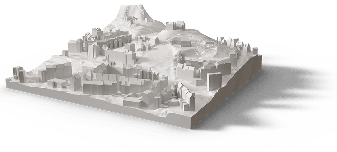 Projects
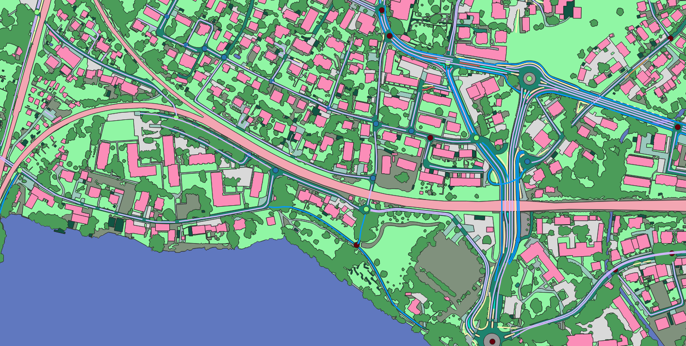
We took a single junction through every layer of our pipeline — the same workflow we run for an entire city.
Read more →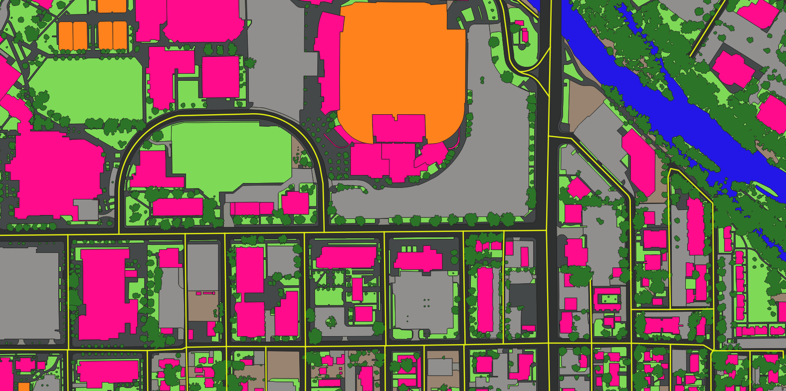 Projects
A continent-scale building dataset built for decision-making across planning, insurance, logistics and response.
Read more → Projects
Precise impervious-surface data turns stormwater fees, flood modelling and runoff planning from estimates into measurements.
Read more →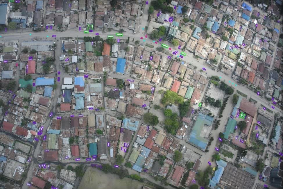 Projects
Multi-class vehicle detection with per-object attributes from low-altitude aerial imagery over Africa.
Read more →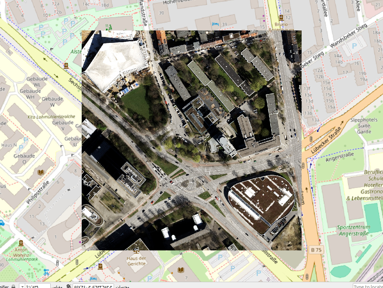 Projects
Dams quietly run modern life — water, power, flood control. A complete, current geospatial inventory is the first step to managing their risk.
Read more →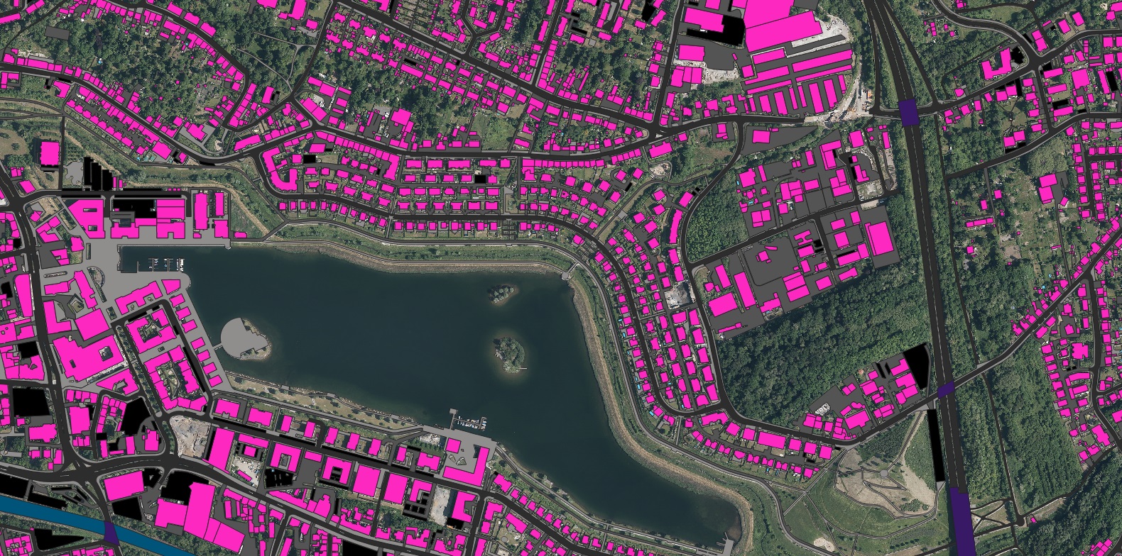 Projects
A full multi-layer feature extraction across the Munich University campus — points, polylines and polygons in one pass.
Read more →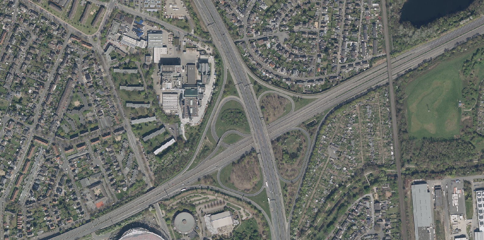 Projects
An HD map of the Leverkusen region built for automated driving — where lane-level precision stops being optional.
Read more →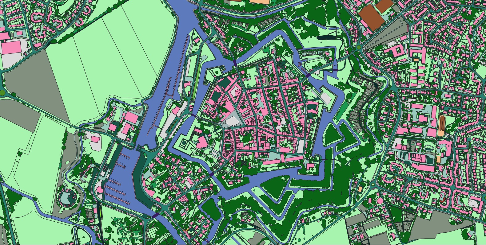 Projects
AI-extracted road, path and crossing layers reveal where a mobility network is incomplete — and who it leaves behind.
Read more →Multi-object tracking across drone video — per-frame boxes and continuous trajectories with attributes.
Read more →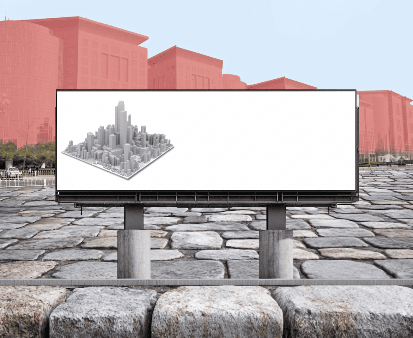 Projects
A computer-vision dataset that sorts buildings into 35+ types — the backbone for insurance, planning and risk analytics.
Read more →Send us your area of interest and what you need to see. We'll return a sample over your own location and walk you through the platform.