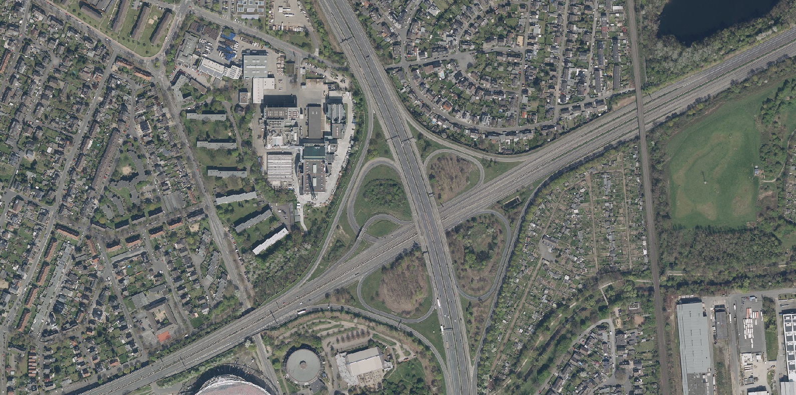
As driving shifts from the human to the vehicle, the map stops being a convenience and becomes a sensor. We built a high-definition map of the Leverkusen region in Germany — a map for machines, carrying the lane-level geometry, markings and furniture that automated-driving systems consume directly.
Maps for machines
Today's drivers use maps for orientation and wayfinding. Automated vehicles need something fundamentally different: a high-precision, lane-accurate digital model they can localise against and plan within. Our HD map provides exactly that foundation.
Open to SMEs and academia
We are making the Leverkusen HD map accessible to small and medium-sized enterprises and academic institutions through a dedicated platform we host and develop. Collaborators get the foundational base-map layer and the ability to build on it — a sandbox for exploring HD-map applications without the cost of building the data themselves.
Exported to ASAM OpenDRIVE, the network is read natively by ADAS validation and simulation toolchains — the format the autonomy industry already speaks.