Resolution is the currency of Earth Observation. A 30 cm satellite scene tells you a lot; a 7.5 cm one tells you whether a manhole cover has shifted. The catch is that sharper sensors cost more, revisit less often, and produce far heavier archives. So we took a different route: a super-resolution model that learns the relationship between coarse and fine imagery, then reconstructs detail the original sensor never recorded — without inventing features that were not there.
What it actually does
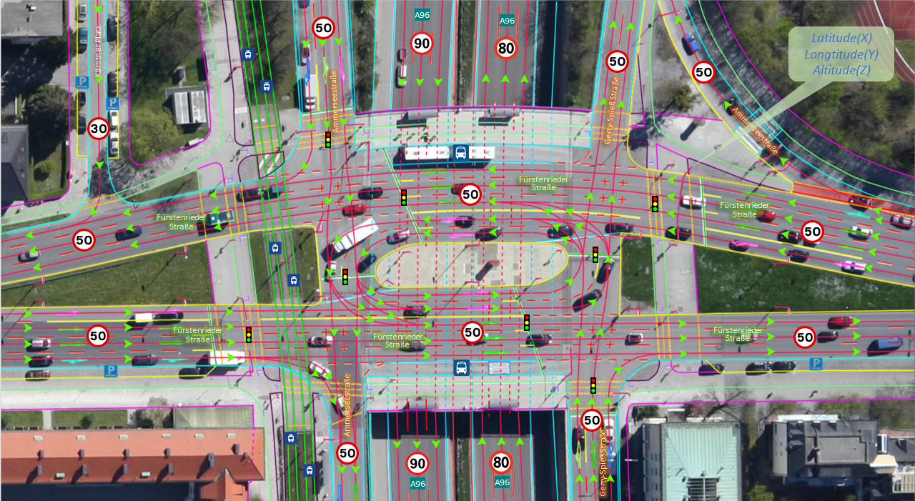
Our network is trained on millions of co-registered image pairs at matching ground locations: a low-resolution capture and a high-resolution one of the same place, same season, same look angle. It learns how roofs, lane markings, tree canopies and field boundaries degrade as resolution drops — and how to run that process in reverse. The result is not a sharpening filter. It is a physically-informed reconstruction that respects edges, preserves radiometry, and stays faithful to the scene.

Why it matters for your project
- Cheaper coverage. Map a wide area from mid-resolution archive imagery, then super-resolve only the parts that need it.
- More usable history. Older, coarser archives become useful again for change analysis.
- Better downstream AI. Sharper inputs mean cleaner building footprints, more reliable vehicle counts and crisper land-cover classes.
Super-resolution now runs automatically inside our imagery pipeline for spaceborne and airborne sources alike, feeding everything from 2D vector maps to the 3D twin. If your area has only coarse coverage, talk to us — there is probably more signal in it than you think.