 Datasets
Vehicle Detection in Satellite Imagery (Single‑Frame, High‑Resolution)
Single-frame vehicle detection from high-resolution satellite imagery, split into large- and small-vehicle classes.
Read more →Product updates, project stories, tutorials and use cases from the team mapping the world.
Datasets
Single-frame vehicle detection from high-resolution satellite imagery, split into large- and small-vehicle classes.
Read more → Datasets
A 10-metre land-use/land-cover map segmented into 24 distinct classes — broad-area intelligence ready for analysis.
Read more →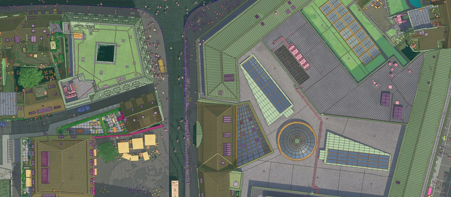 Datasets
An aerial dataset over Münster, Germany at 2 cm resolution — capturing the city in extraordinary detail.
Read more →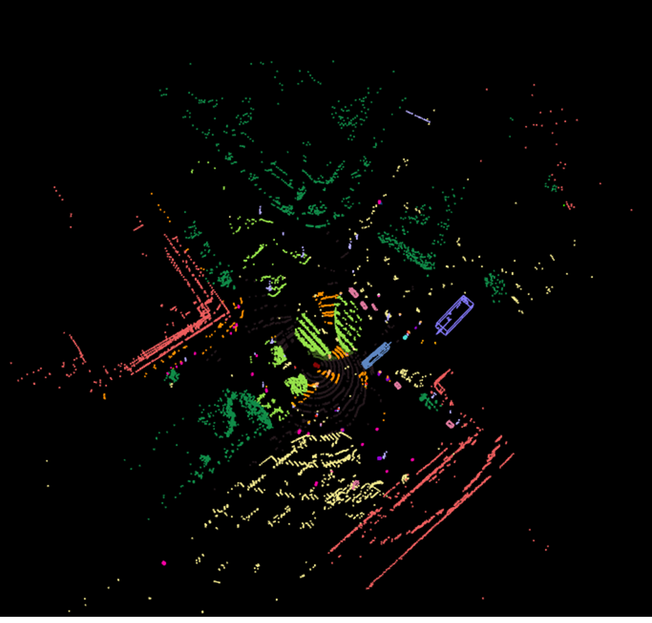 Datasets
650 co-registered RGB-image and LiDAR point-cloud samples, labelled for multimodal model training.
Read more →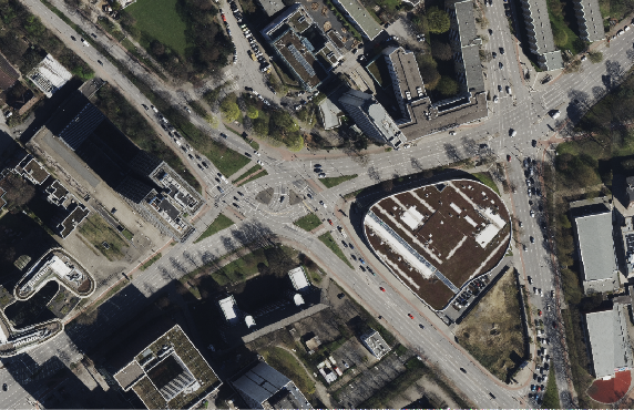 Datasets
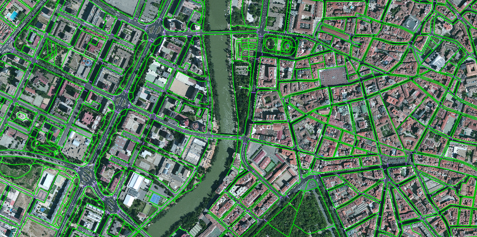
Classifying road types from medium-resolution satellite imagery to complete the picture of a city's transport network.
Read more →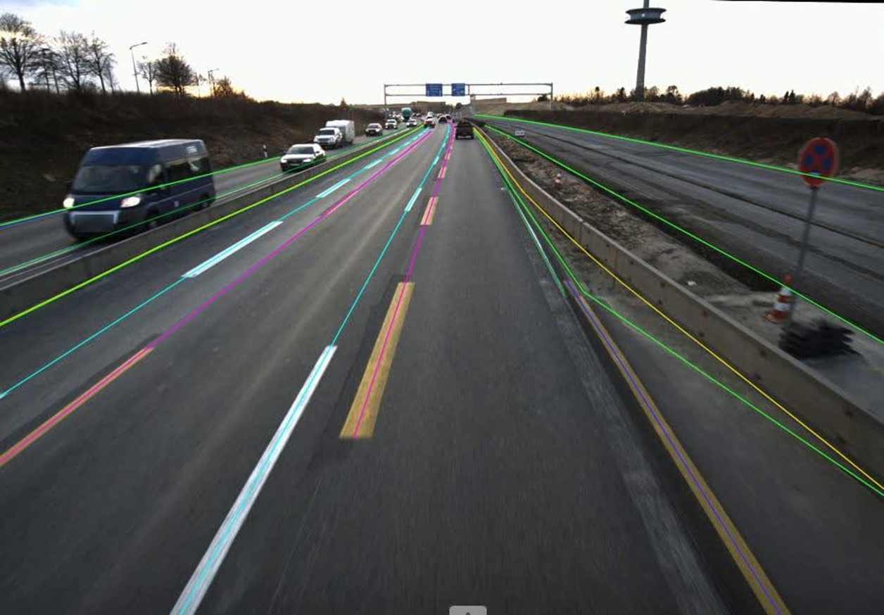 Datasets
Polyline road boundaries and route paths extracted at scale from 50,000 forward-facing EV dashcam frames.
Read more →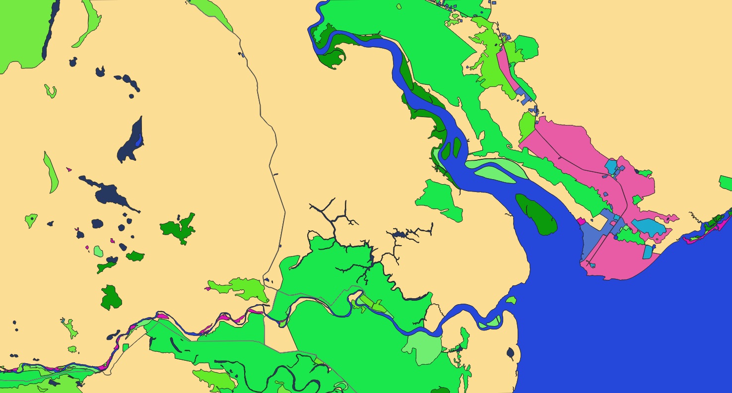 Datasets
A high-resolution, satellite-derived vector dataset of Moscow with exceptional detail in infrastructure and assets.
Read more →Send us your area of interest and what you need to see. We'll return a sample over your own location and walk you through the platform.