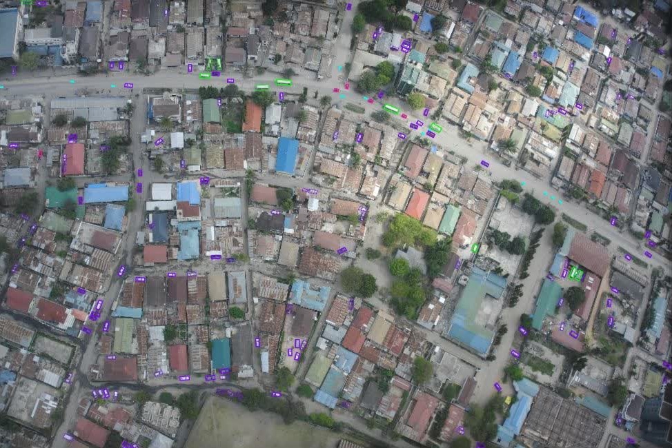
Region: Africa · Imagery: high-resolution, low-altitude aerial · Output: bounding boxes with vehicle class and per-object attributes.
We detected and classified vehicles in high-resolution aerial imagery across several African regions. Unlike satellite-based work — where only broad large/small classes are practical — this project called for fine-grained classification of the full variety of vehicles on the ground.
A demanding setting
Aerial imagery over Africa presents its own challenges: an enormous range of vehicle types, from standard cars and trucks to motorcycles, minibuses (matatus and shared taxis) and agricultural vehicles, all to be told apart reliably.
Why it matters
Attribute-rich vehicle detection supports traffic analysis, logistics and planning in regions where conventional ground sensors are sparse — turning a single aerial pass into a detailed, classified picture of activity on the road.