Geospatial data is the foundation smart-city mobility is built on. Departments of Transportation, Metropolitan Planning Organisations and municipal governments all need a centralised, accurate digital framework to evaluate existing networks and adapt to changing demand — and increasingly that framework comes from AI-powered mapping.
Active transportation
To promote healthier, more sustainable travel, cities worldwide are investing in walking and cycling networks. Detailed, accessible mobility layers let planners design connected, equitable infrastructure rather than guessing where the gaps are.
ADA compliance
Since the Americans with Disabilities Act of 1990, transportation bodies must build accessibility into their networks. Current geospatial data lets planners assess kerb ramps, crossings and sidewalk continuity against ADA standards across even the largest jurisdictions — work that would be impossible to do by hand at scale.
Smart-city planning
From safety analysis to capacity planning, a high-definition, regularly refreshed transport layer turns broad-brush plans into decisions grounded in the network as it actually is.
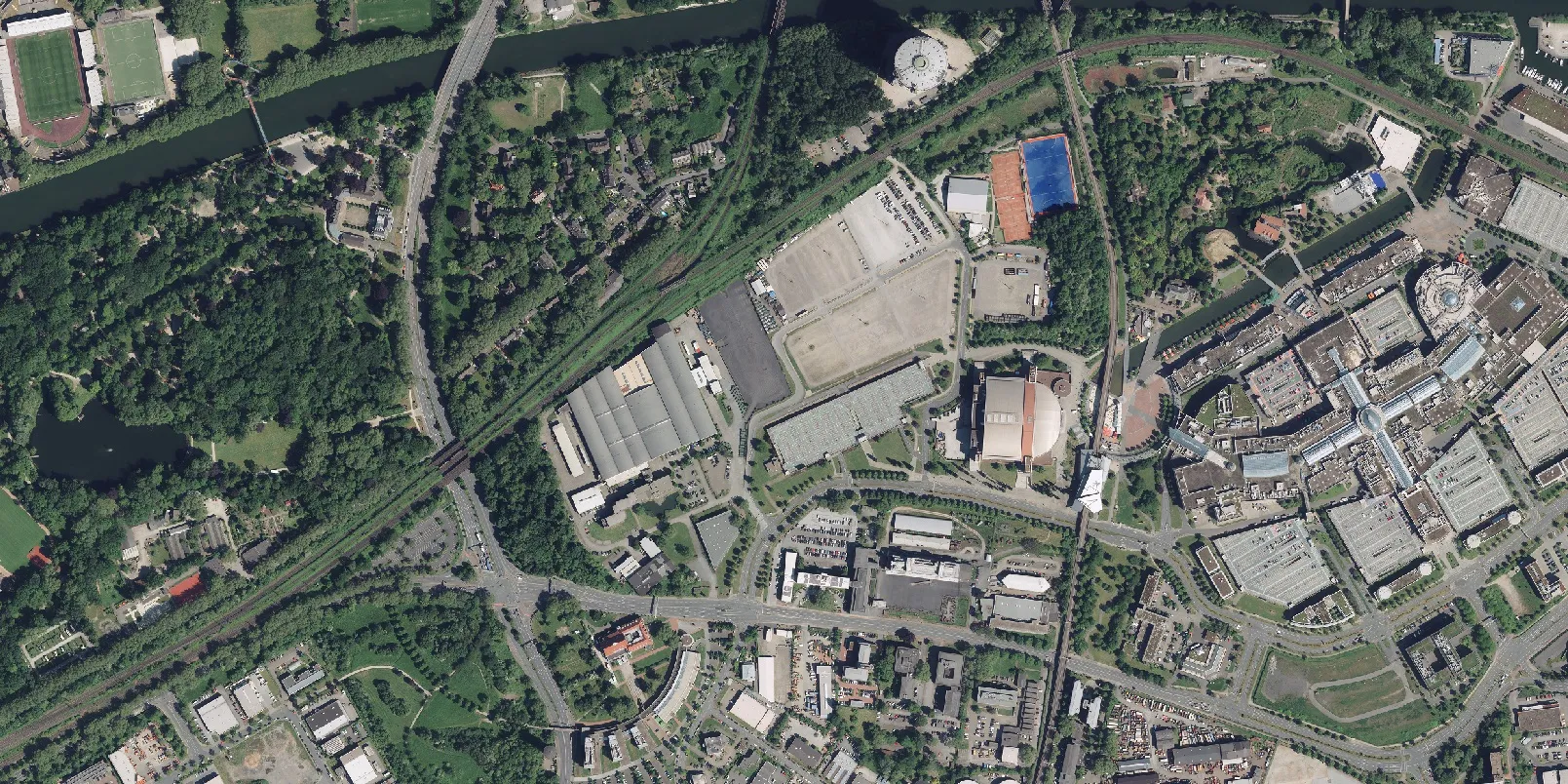
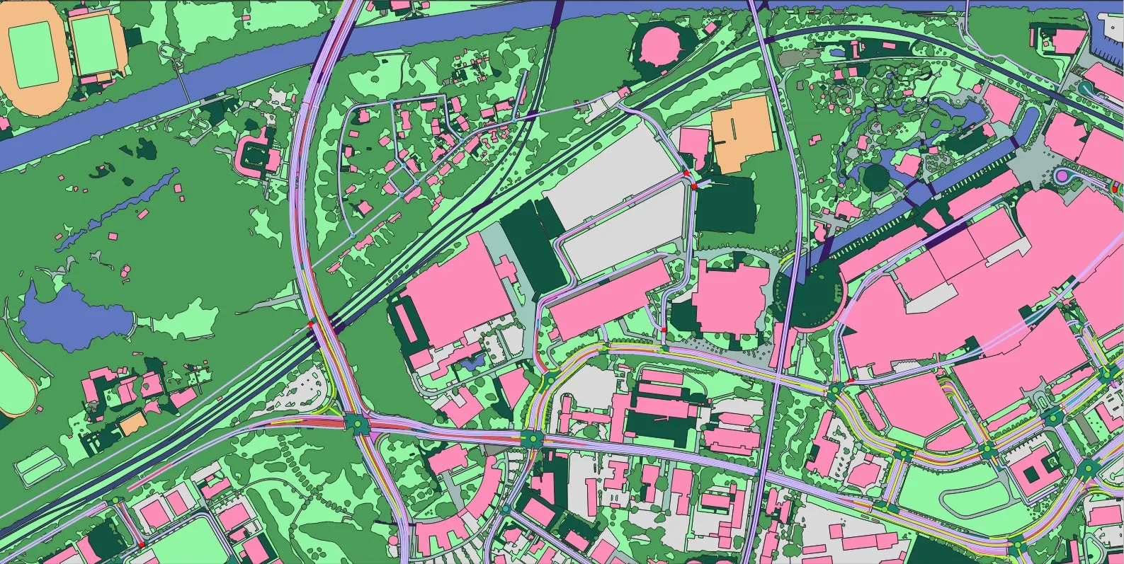
Sample results
Drag the slider to compare imagery and AI output.
 ImageMapping

