 Case studies
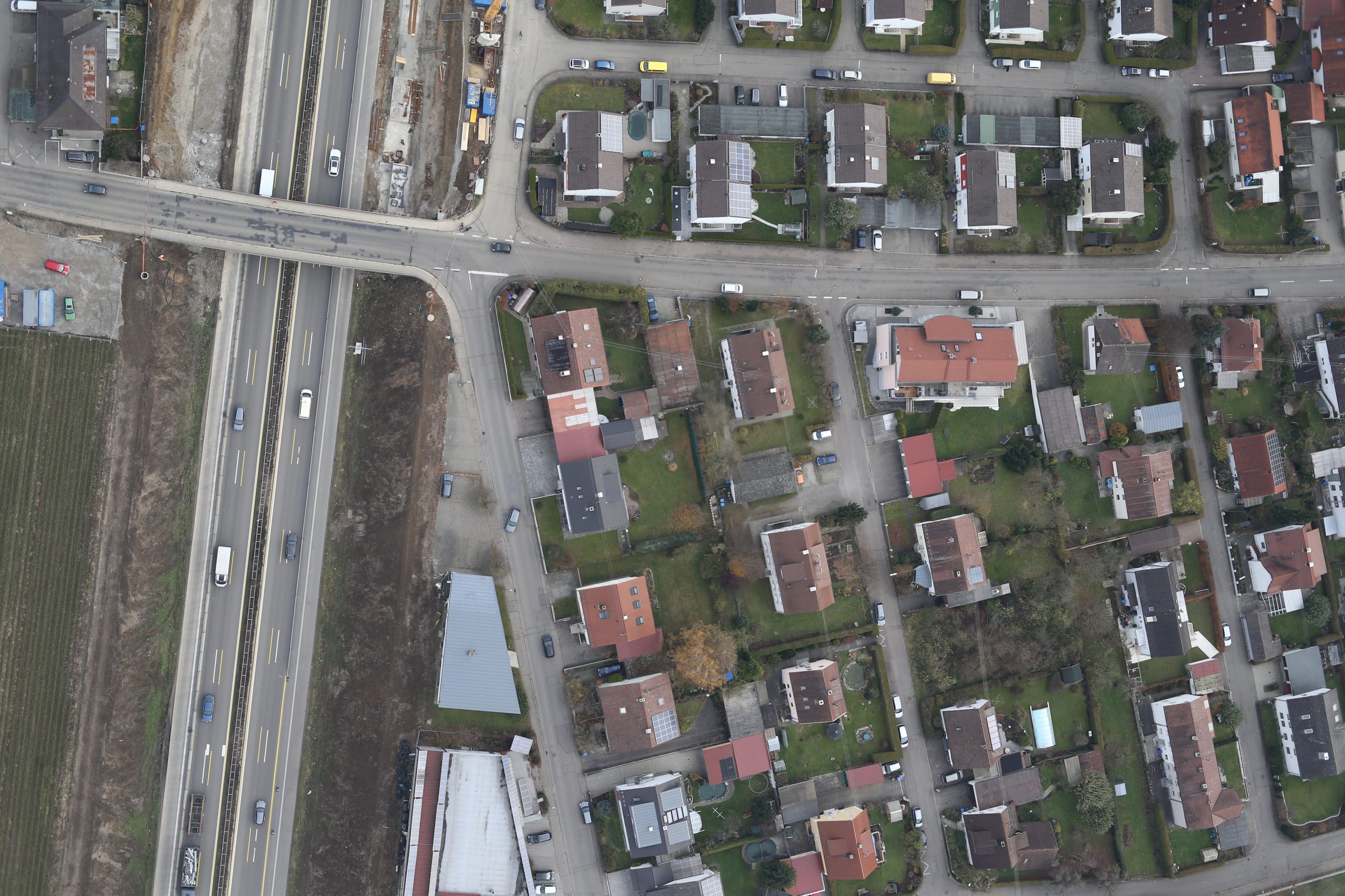
Road Damage Detection & Classification
Road-surface damage detected and sorted into cracks, patches and seams — scalable, data-driven condition assessment.
Read more →Product updates, project stories, tutorials and use cases from the team mapping the world.
Case studies
Road-surface damage detected and sorted into cracks, patches and seams — scalable, data-driven condition assessment.
Read more →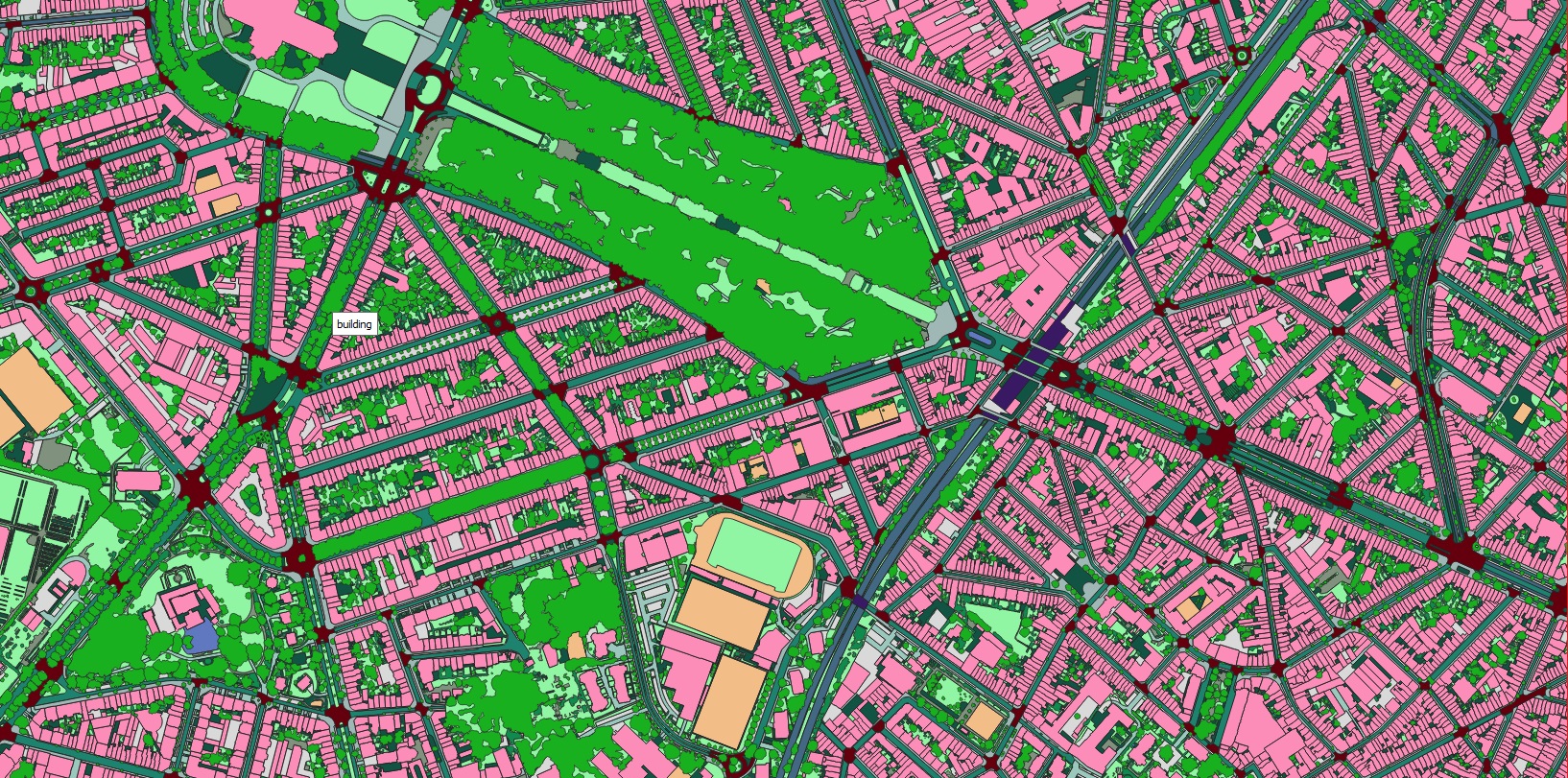 Case studies
Land cover and road infrastructure mapped consistently across 17 Japanese cities — from Tokyo and Osaka to Sapporo and Sendai.
Read more →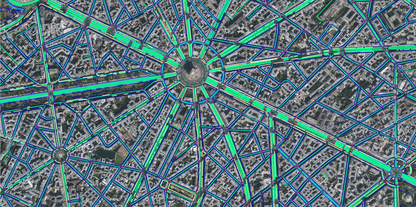 Case studies
France mapped into seven land-cover and land-use classes — forest, agriculture, urban, water, rangeland, bareland and road.
Read more →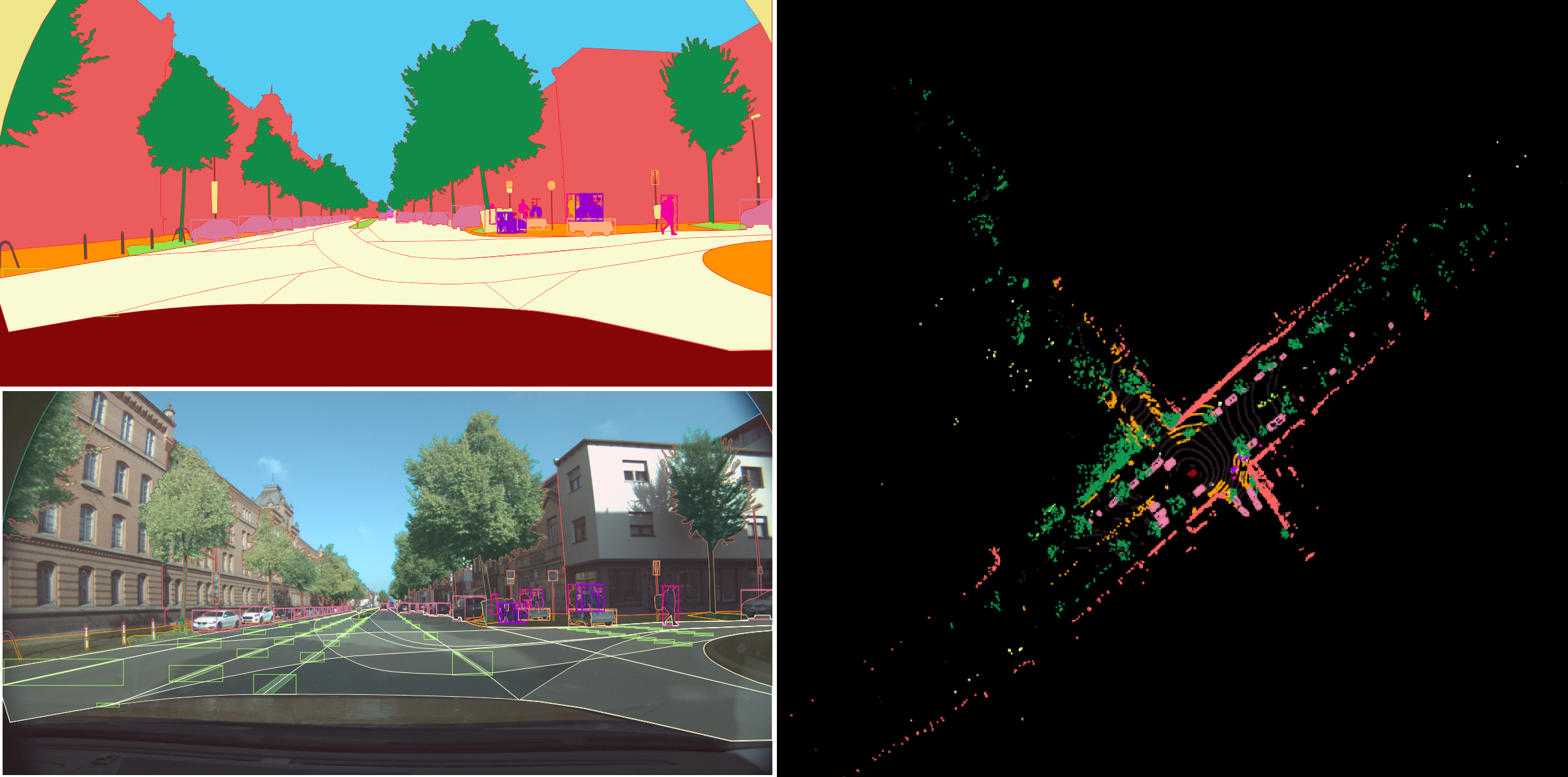 Case studies
Berlin's urban surface segmented into nine primary classes plus attributes — roads, shoulders, keep-out areas and more.
Read more →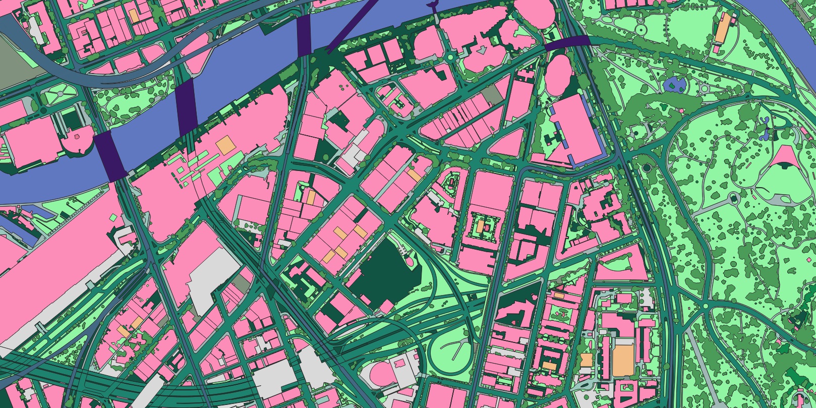 Case studies
Road-marking quality assessed across Roeselare, Belgium from satellite and panchromatic imagery.
Read more →Barcelona's surface mapped automatically into 13 land-cover and transportation classes for planning and environmental work.
Read more →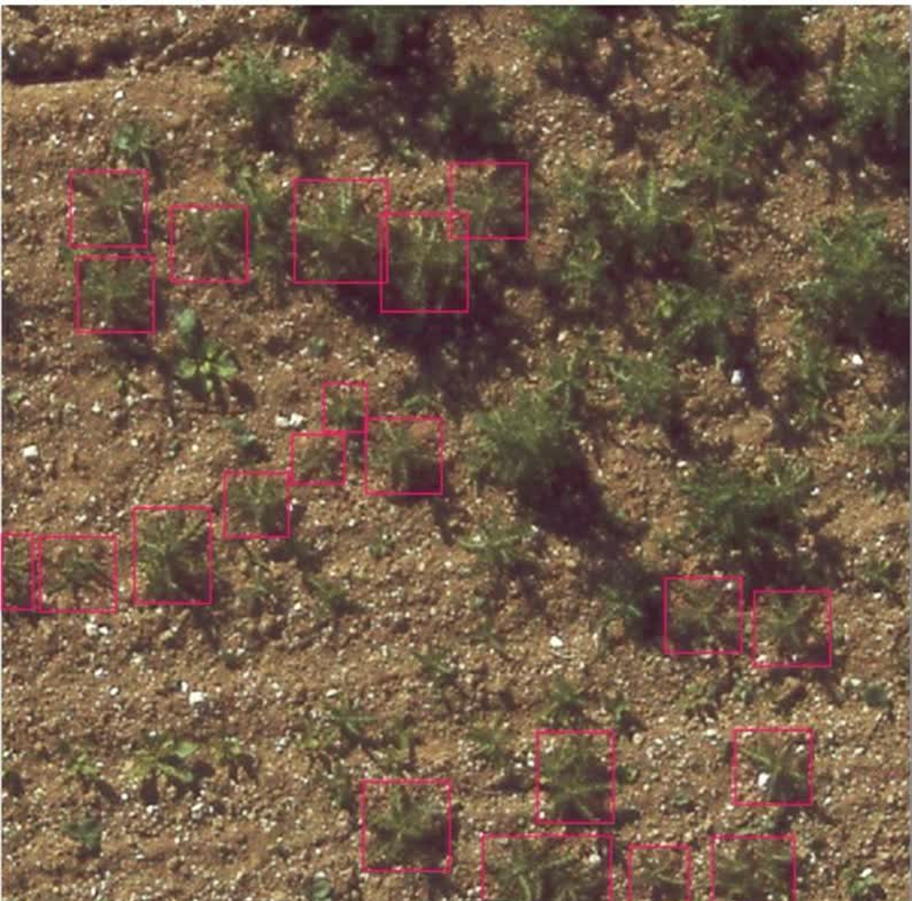 Case studies
Individual thistle weeds detected in agricultural fields with bounding-box object detection — precision agriculture in practice.
Read more →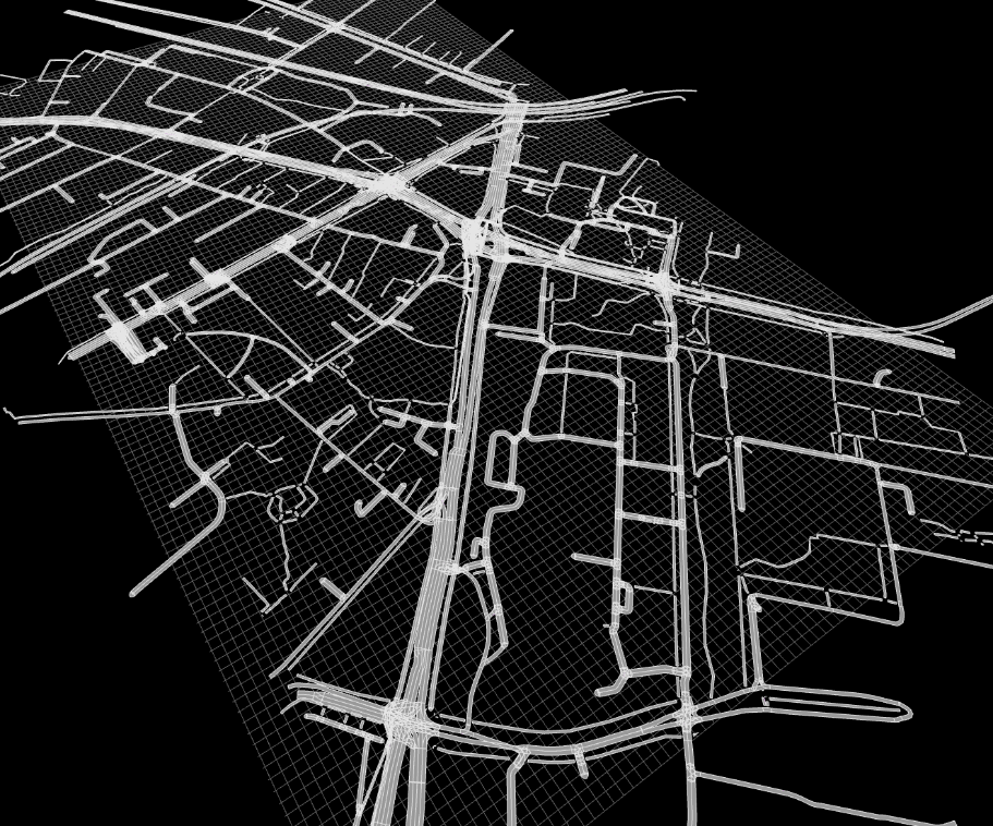 Case studies
Roadside elements — curbstones, fences, guardrails and borders — detected and classified into five categories.
Read more →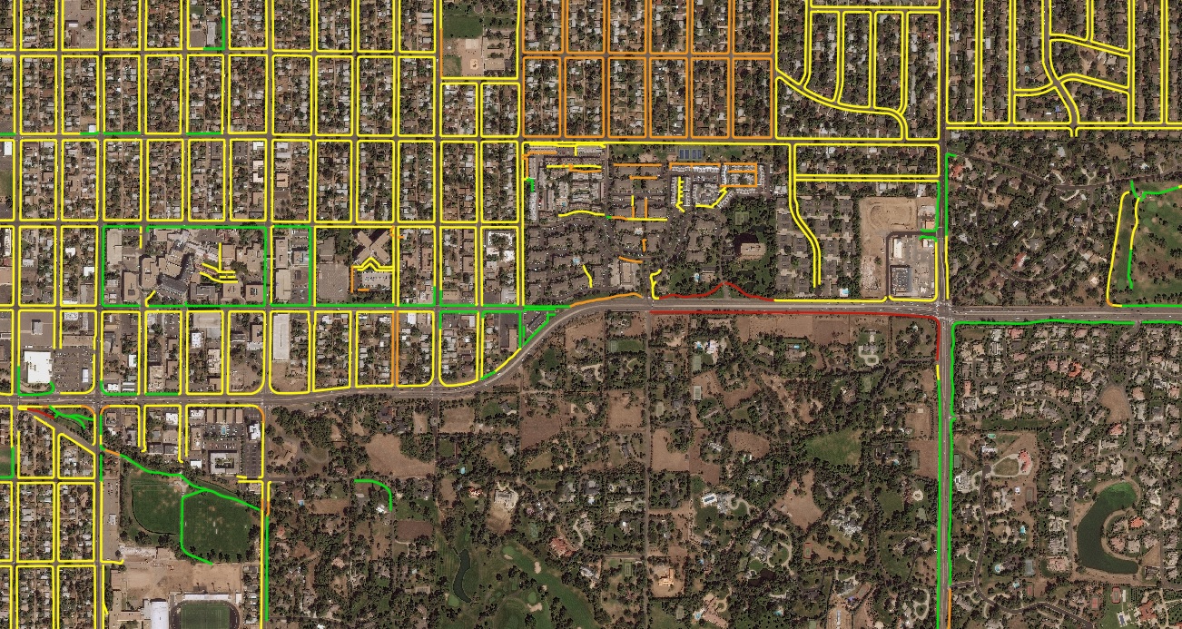 Case studies
Road markings classified by type, checked for occlusion and graded for physical quality — at scale.
Read more →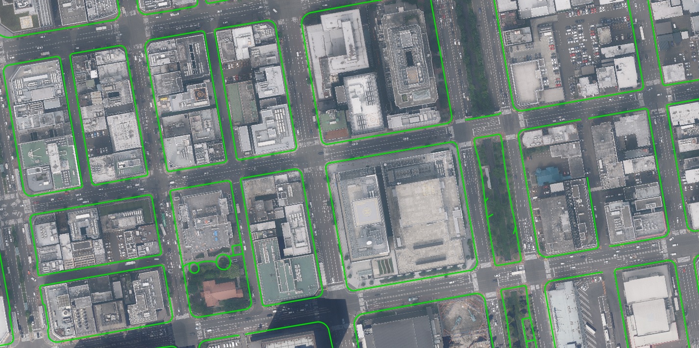 Case studies
Road-surface damage and texture classified across Bruges from satellite and panchromatic imagery — condition surveying without the drive-around.
Read more →Send us your area of interest and what you need to see. We'll return a sample over your own location and walk you through the platform.