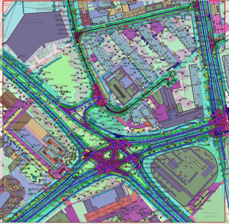
Germany · 2025
True-ortho aerial mosaic and a clean vector base map of buildings, roads and green space over central Münster.
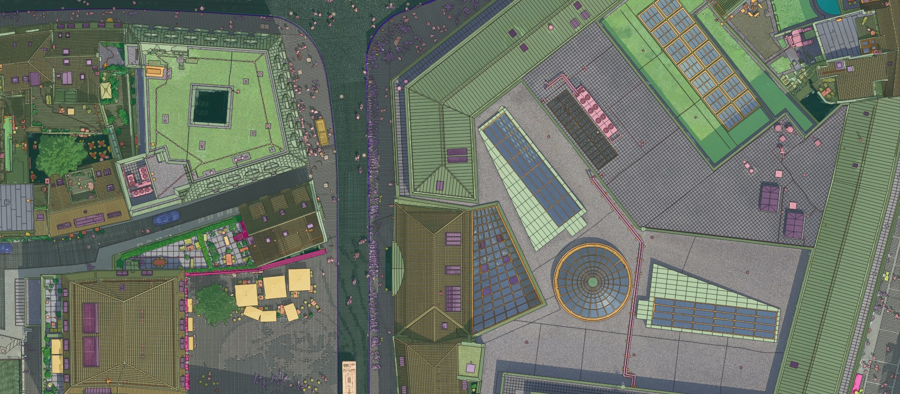
From a 5 cm airborne survey we produced a seamless true-ortho mosaic, then extracted buildings, road edges, pavements and vegetation as a regularised vector layer. Delivered as GeoTIFF and GIS-ready vectors, it gives the city an up-to-date base map for planning and asset management.

