Germany · 2025
Level-1 mono/stereo/tri-stereo satellite imagery turned into a full HD vector map and 3D city model for a mobility partner.
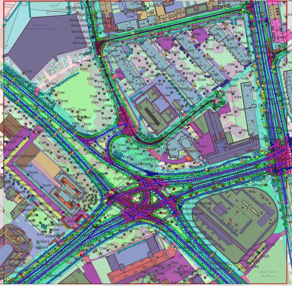
Starting from Level-1 tri-stereo satellite imagery, our pipeline ran bundle adjustment, image matching, pansharpening, orthorectification and DSM/DTM extraction, then 3D mesh and direct 3D-vector modelling. The output is a lane-accurate, fully attributed HD map plus an LoD2.2 CityGML model of the area of interest.