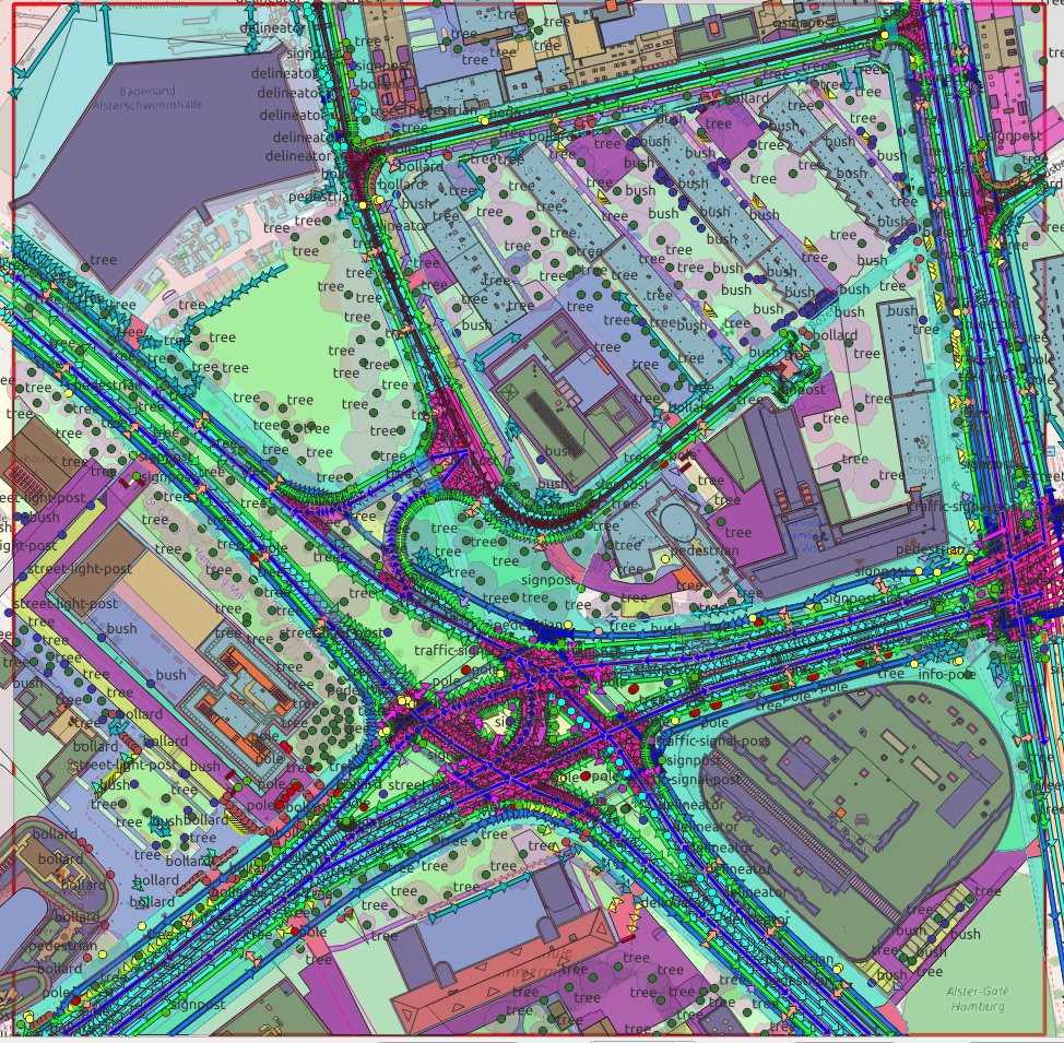
Germany · 2025
Proprietary AI super-resolution enhances native 30 cm satellite imagery to aerial-grade detail without a new flight.

Our TrueHD models reconstruct fine detail from native satellite imagery, bridging the gap between satellite and aerial resolution. Demonstrated here at 4× on oblique WorldView imagery over Hamburg; higher factors are available for internal mapping workflows.