“We need a map” is the start of a conversation, not the end of one. The right product depends entirely on what you are going to do with it. Here is a plain-language guide to the four words that come up most — 2D, 3D, SD and HD — and when each one earns its keep.
2D maps
Footprints, roads, land use and points of interest as vectors on a plane. Perfect for analysis, asset registers and anything that lives in a GIS. Lightweight, fast, and the foundation for almost everything else.
3D models
The same features given height and form — buildings, terrain, vegetation. The right choice for visualisation, planning, solar and shadow studies, flood and noise modelling, and digital twins.
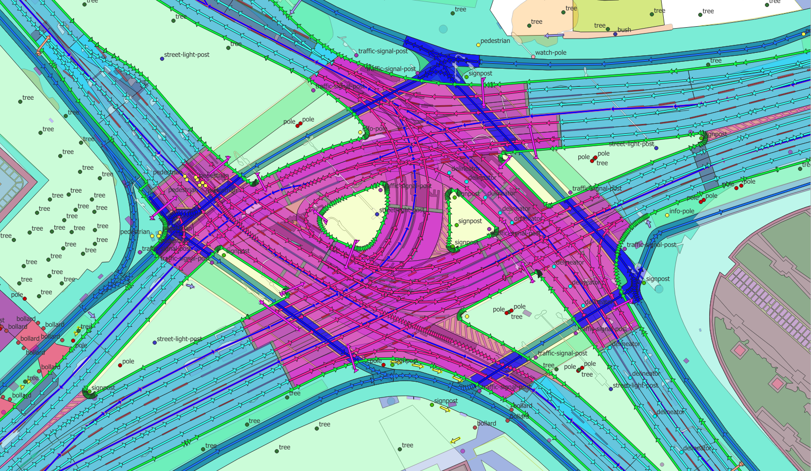
SD vs HD
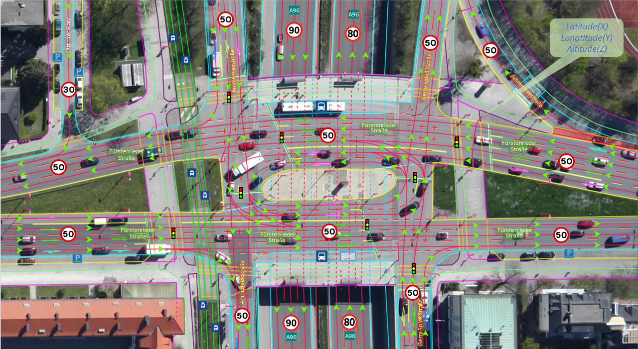
This is about precision, and it usually comes up for mobility. SD (standard-definition) maps are accurate to a few metres — fine for navigation and routing. HD (high-definition) maps are accurate to centimetres and carry lane-level geometry, markings and signs — what an autonomous vehicle or ADAS planner needs to position itself in a lane.
A quick rule of thumb
- Analysing or managing assets? 2D.
- Visualising, planning or simulating? 3D.
- Navigating or routing? SD.
- Driving autonomously? HD.
The good news: because we build them all from the same survey, you are not locked into one. Tell us the use case and we will recommend the lightest product that does the job.


